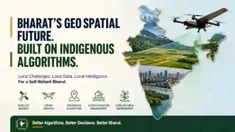
Necessity for Indigenous Geospatial Algorithms
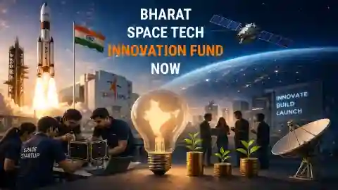
Bharat Space Tech Innovation Fund
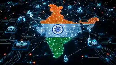
Fundraising Deep Tech Startups of BHARAT